Stage 2 – Grand Borand to Bourg St Maurice
Distance – 100km Aprox 3.5hrs, 4.5hrs inc Col du Pré +20km
This stage passes – Clusez, St-Jean-de-Sixt, La Giettaz, Flumet, Les Saisies
Cols – Col des Aravis – 1486 meters, Col des Saisies at 1657 meters, and Cormet de Roselend 1967 meters and the optional Col du Pré 1700m
Download This Route »
Note: You will be asked to log in or register with RoadTrooper.com to gain access to downloadable .KML (Google Earth), .GDB (Garmin), .GPX (Generic) files.
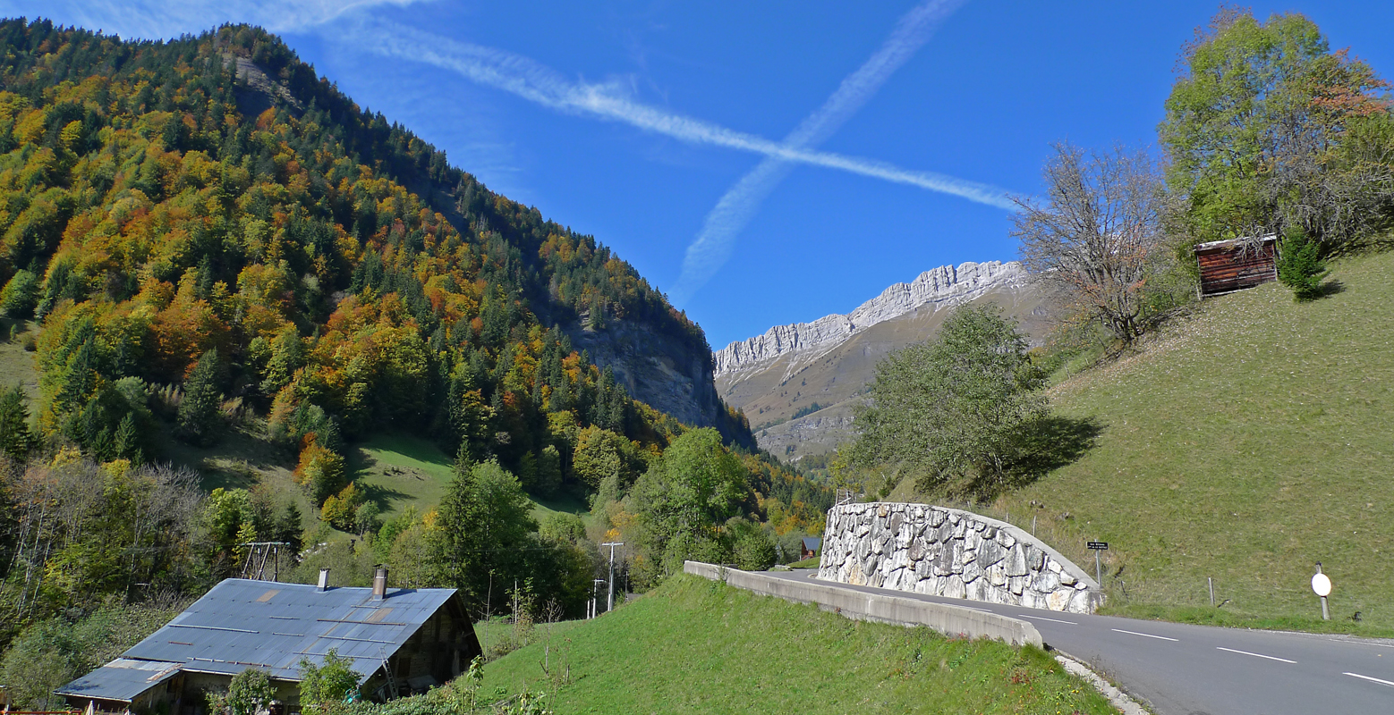
Col des Aravis
The towns along this route are mainly just small ski stations and very quiet in the summer months, Col des Aravis is your first pass; remember at the top to say a quick prayer to Saint Anne – The Protector of Travellers in the little chapel dedicated to her at the top of the Col des Aravis.
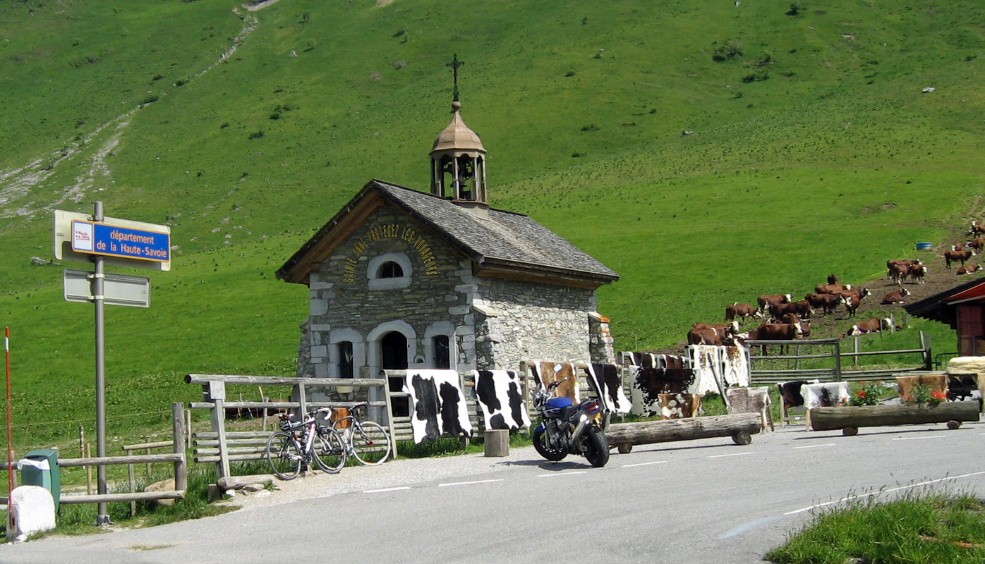
Col des Aravis Church of Saint Anne – The Protector of Travelers
Clusaz is located 32 km to the east of Annecy, in the Aravis Valley, a busy ski resort in winter, a ghost town in summer.
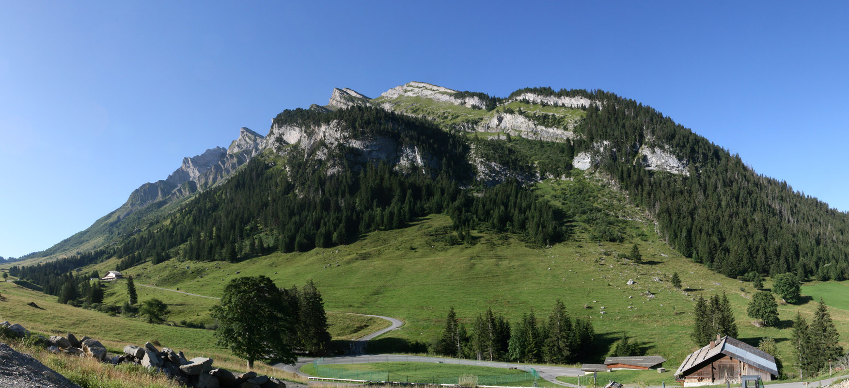
Route du Col du Aravis from Clusaz
This is a beautiful stage with three great passes – Col des Aravis – 1486 meters, Col des Saisies at 1657 meters, and Cormet de Roselend 1967 meters. Like La Clusaz, the town of Saisies is a medium size ski station. There’s a World War Two memorial at the top commemorating the Parachuting in of huge weapons supplies to the French resistance at the Col itself and the death of one of the American paratroopers…
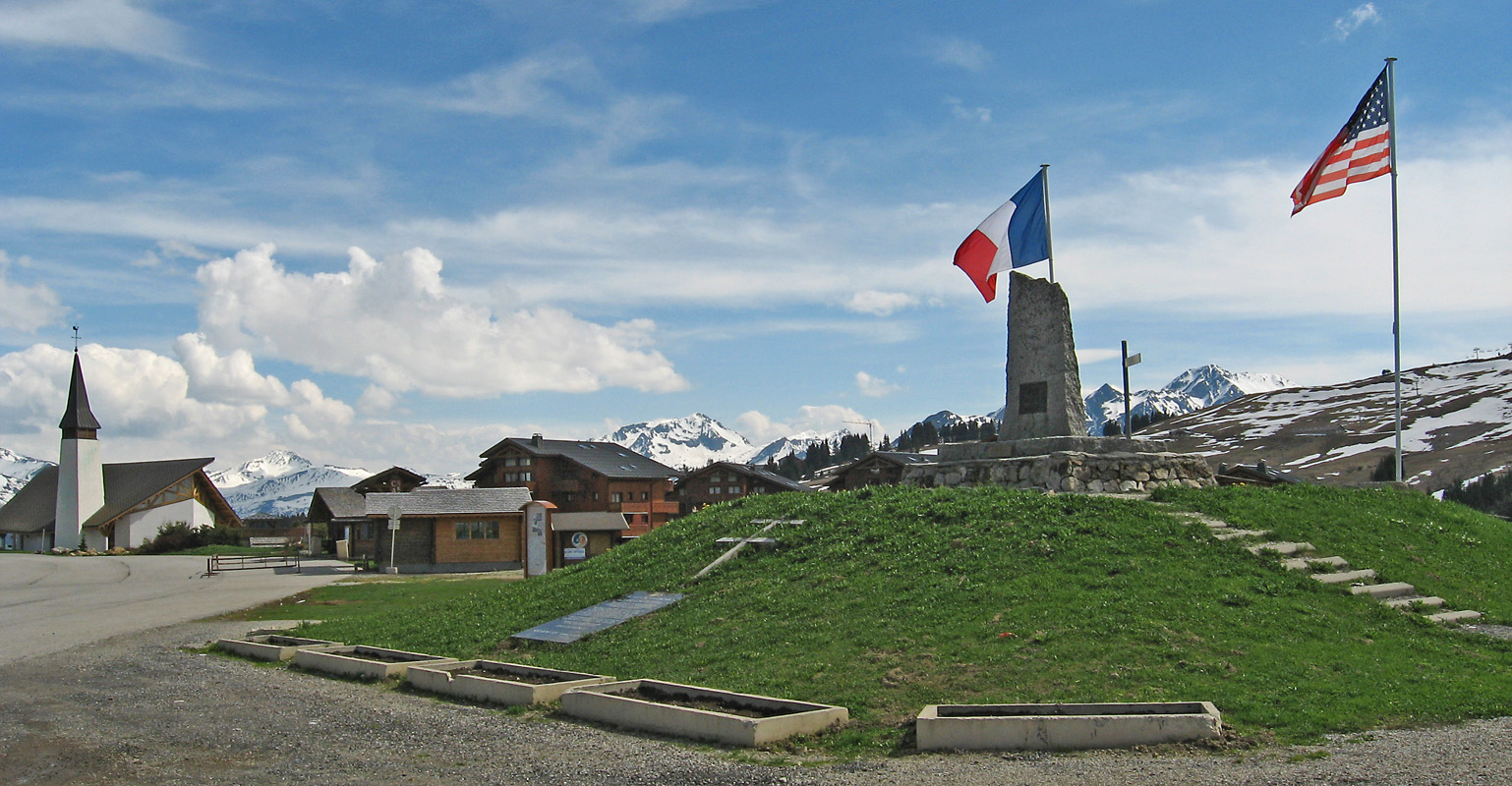
Col des Saisies 1650m & WWII Memorial
You might want to think about your route a bit at Flumet because it’s very tempting to take the D1212 at Flumet and jump across to border to take a closer look at Mont Blanc. There are some fantastic roads around the big mountain but for the sake of your sanity stay well clear of the Mont Blanc Tunnel!!! Don’t even think about it, I have yet to meet a biker who would even remotely consider using it a second time! I went through it about 6 years ago and got stuck behind a string of trucks, by the time I got to the other side I felt dizzy and was close to puking in my helmet from the fumes.
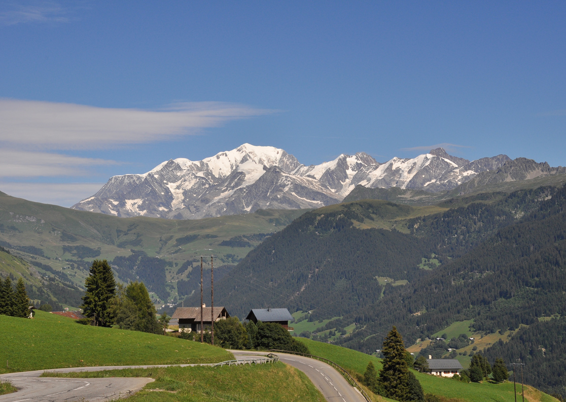
Route Du Beaufort/Col du Pré (D218) View towards Mont Blanc
It’s possible to go slightly off route in Beaufort to also take in Col du Pré at 1703 meters, this route is boastfully described as “Mythic” by the Beaufort Tourist office, not sure about “mythic” but worth a look. The way up has some hippy hairy hairpins, at the top the views of the lake and mountains are stunning.
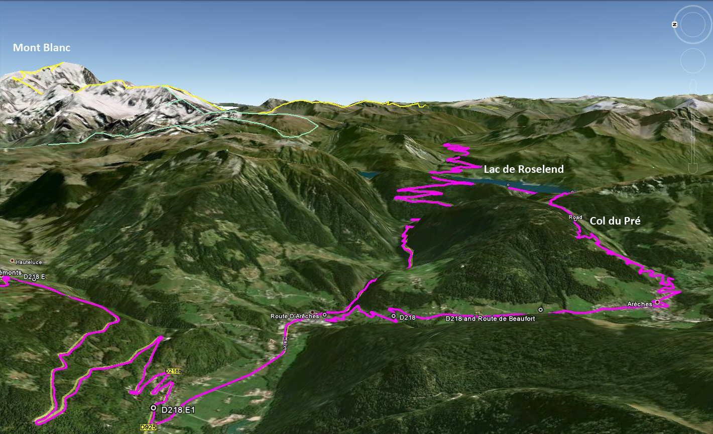
The 2 routes to Lac Roselend
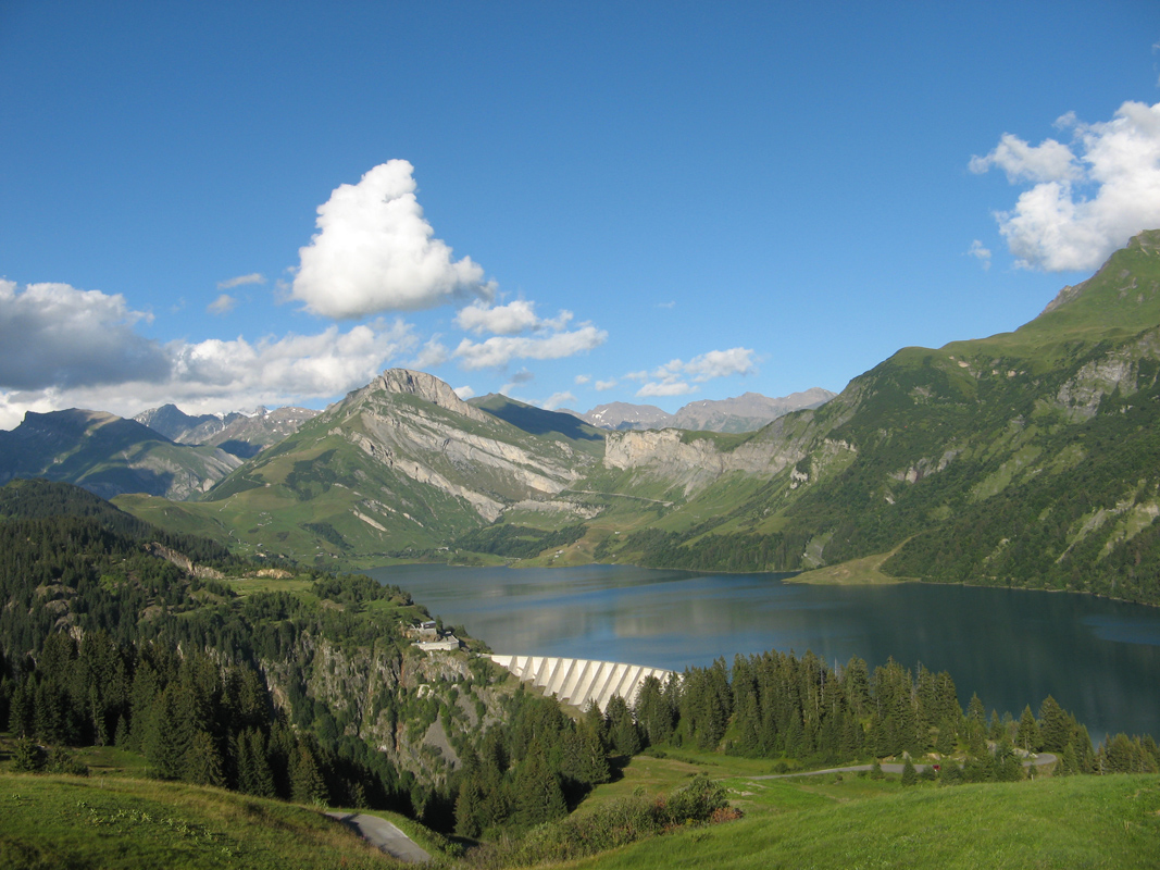
Roselend Dam from Col de Pré
I took Col du Pré once on fully loaded R115RT and I found the hairpins difficult due to the weight of the bike, I was a sweaty wreak by the time I got to the top, but it was well worth it.
This route then descends down for a couple of kilometres, crosses an impressive dam, a tourist attraction in itself and rejoins the classic route for the climb up to Cormet de Roselend at around 1600 metres.
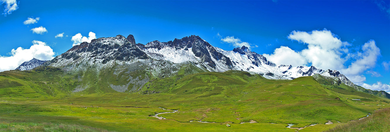
Cormet de Roselend
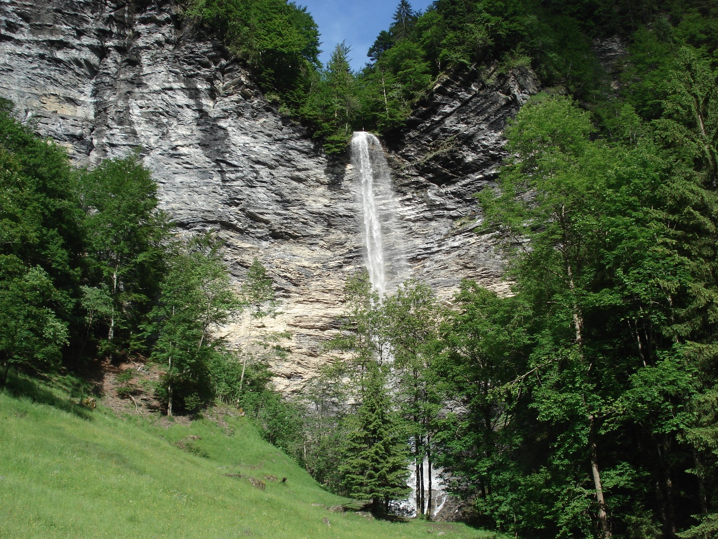
Majestic Waterfalls Along Stage 2
Each stage of the route has something different to offer and the area along Stage 2 is known for its abundant waterfalls and vibrant green landscapes, the lake/dam of Roselend is one of the major attractions of this area which is particularly striking on the Beaufort side.
Just past the dam the D925 climbs up Cormet de Roselend where you’ll find a small car park with amazing views back towards the lake and Mont Blanc.
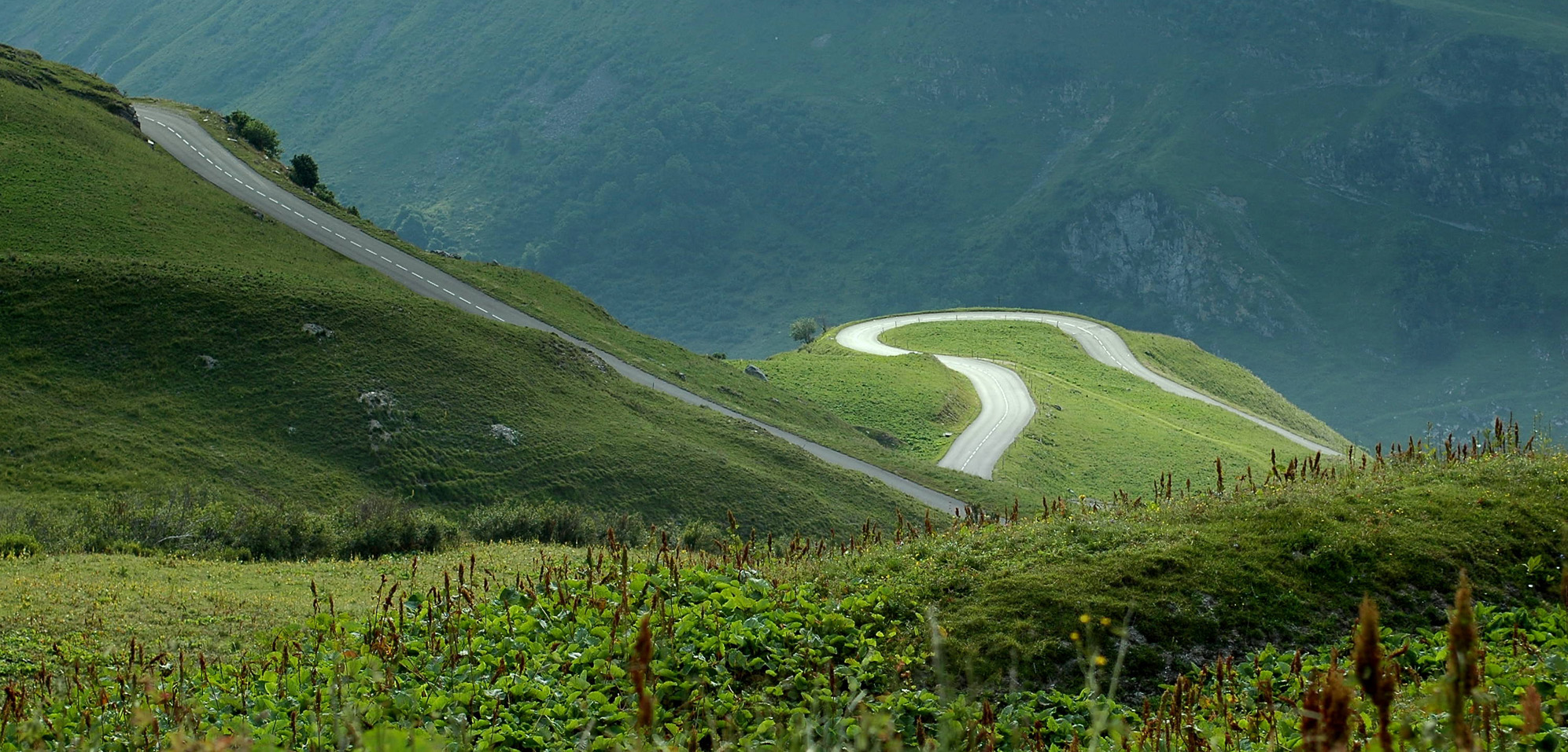
Great twisty road to Bourg St Maurice
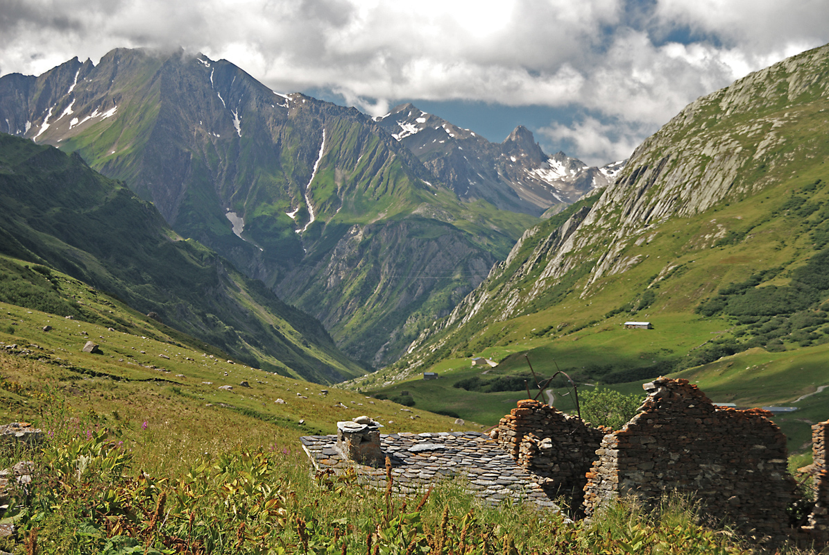
Ville des Glaciers – Col de la Seigne
Here the D925 becomes the D902 and just down the road you have the opportunity to go slightly off route again and ride up the glacial valley of Col de la Seigne to Ville Des Glaciers at the base of Mont Blanc with spectacular views of the mountain and glacial valley.
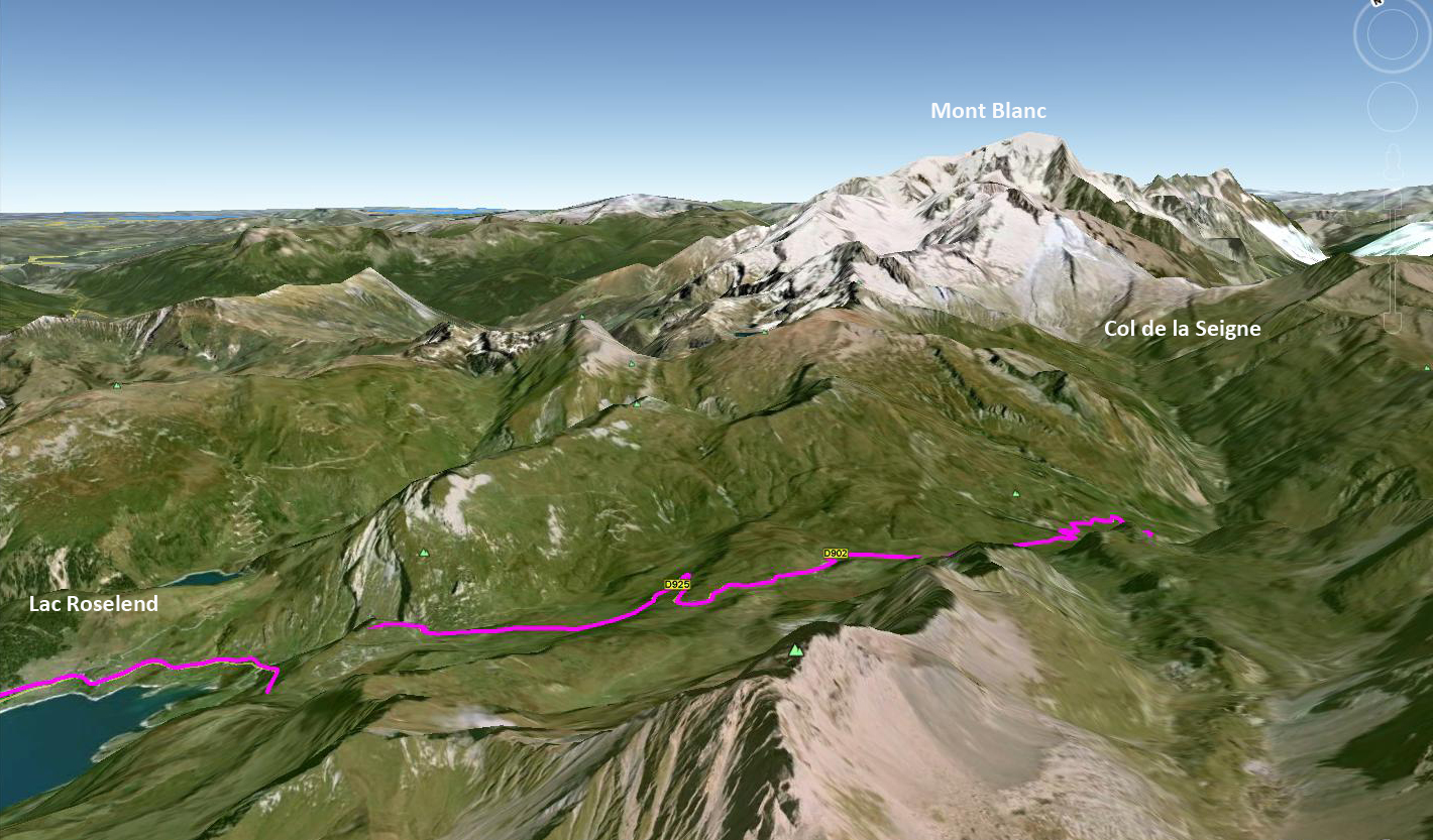
Google Earth View of Col de Seigne
There is also a mountain refuge up here if you fancy it for the night, and there are some great hiking routes here, if not then double back and it’s a superb, hairpin-filled, 20 kilometre descent all the way to Bourg St Maurice on the D902.
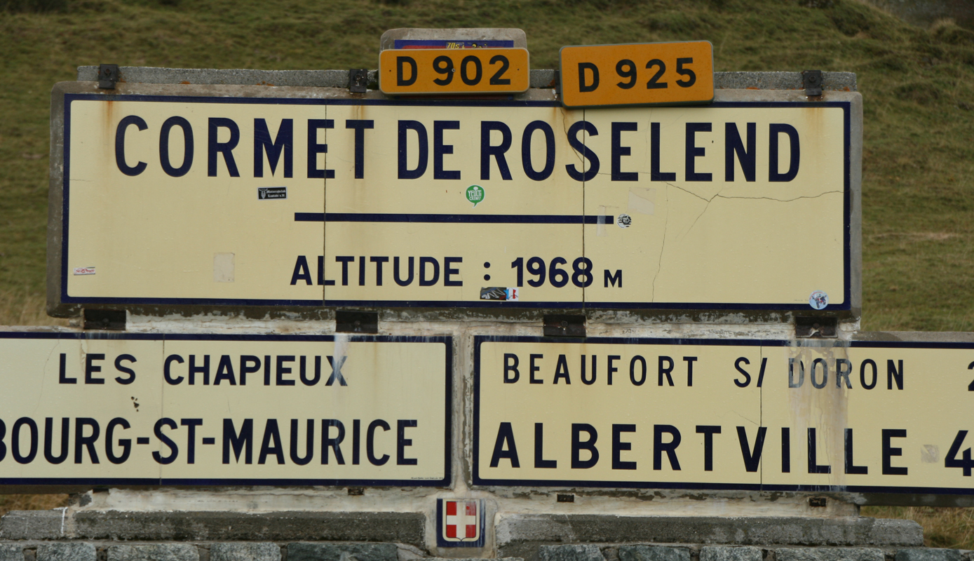
Where the hell am I now?
One of the reasons I broke down this route into 8 stages is because I’d highly recommend regularly going “off route” at each stage and exploring the passes either side of the main route like a run around lake Annecy before starting this stage at Grand Borand if you have the time. I have yet to find a pass up here that I have not immensely enjoyed for one reason or another so if you take a wrong turn just go with it!
Videos
Route Instructions
- Start Grand Borand, head towards Clusez
- Exit Clusez towards South: Follow D909 and signs to Col des Aravis and Flumet
- Stay on D909 and climb and descend Col des Aravis into Flumet
- At Flumet cross the busy D1212 and take the D218b towards Saisies
- Stay on D218b and climb and descend the Col des Saisies
- A few kilometres from Beaufort the D218b ends
- Turn left on D925 into Beaufort
- Stay on D925 and climb Cormet de Roselend
- At very top, road becomes D902
- Descend on D902 into Bourg Saint Maurice
Biker friendly hotels, most with bike garage along Stage 2 of the route:
Hotel La Montagne – La Clusaz
Les Chalets de la Serraz – La Clusaz
La Coeur de Marie – Flumet
Chalet Hotel L’Eau Vive – St Nicolas La Chapelle
Chalet La Source – St Nicolas La Chapelle
Le Caprice Des Neiges – Crest-Voland
Hotel le Tetras – Notre Dame de Bellecombe
Le Calgary – Les Saisies
La Ferme du Chozal – Hauteluce
Hotel du Grand-Mont – Beaufort
Le Christiania – Beaufort
Refuge du Plan de la Lai – Beuafort
Hotel L’Autantic – Bourg St-Maurice
As usual you can download the route as a GPX, GDB or as a KML file which is a playable tour in Google Earth and is probably the best way to review the route without actually doing it. Just go to the GPS Routes Box on the top right, open the KML folder and choose the file you want…
Download This Route »
Note: You will be asked to log in or register with RoadTrooper.com to gain access to downloadable .KML (Google Earth), .GDB (Garmin), .GPX (Generic) files.
Road conditions – check the status of the Cols/Passes:
InfoTrafic: Alpes Du Nord
Bison Fute
Next Stage 3 – Bourg Saint Maurice to Lanslebourg »
